Projects
PYRMOVE
Cross border management and prevention of the risk associated with landslides.
Start date: 01/11/2019
End Date: 01/06/2022
Team:
 Anna Echeverria
 Laura Trapero
Anna Echeverria
Laura Trapero
Work strands:
Natural risks
Geology
Geology
Financing program:
Interreg POCTEFA
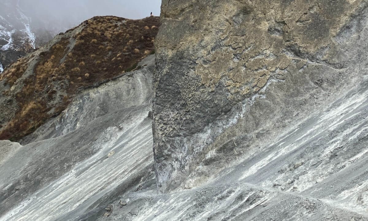
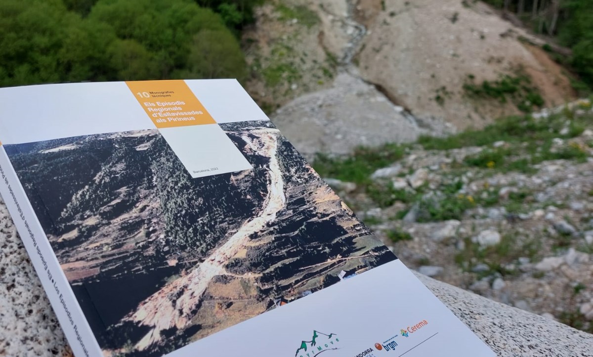
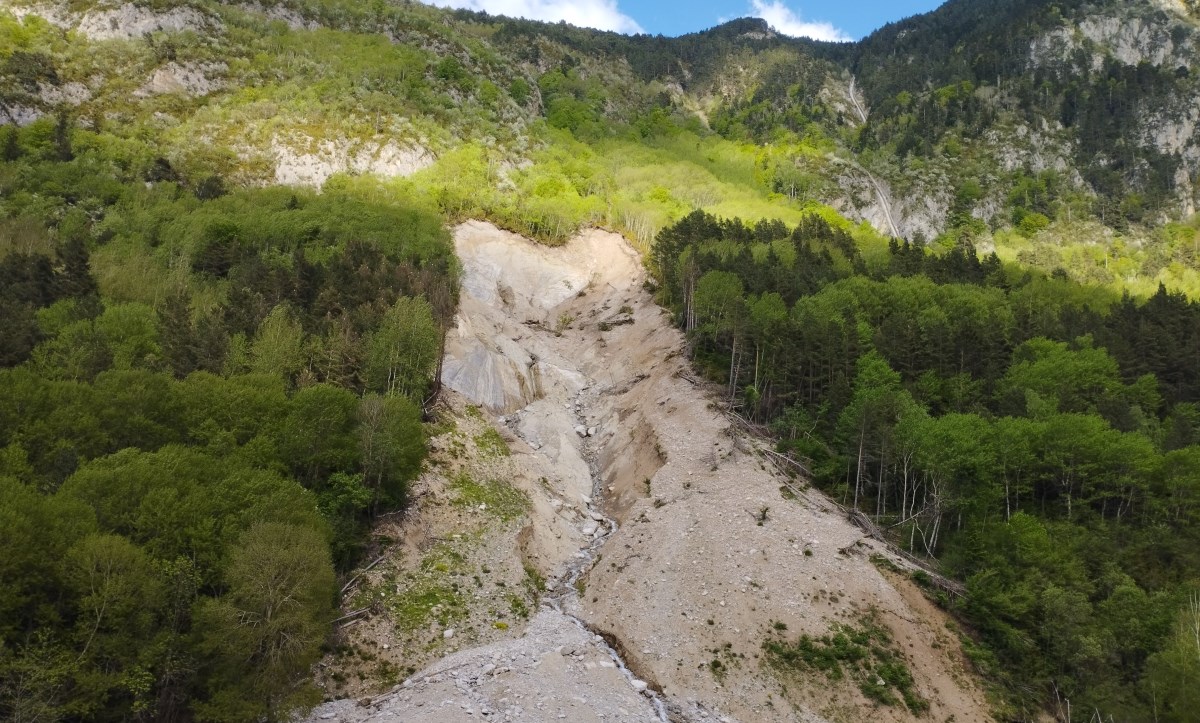
PyrMove focuses on the prevention and management of risk associated with landslides that cause most damage to roads, dams, villages, and Pyrenees activities. In particular, the project focuses on two types of landslides that frequently affect the Pyrenees: large landslides (e.g., the Forn de Canillo) and multiple slides caused by episodes of heavy rains (“MORLEs”), which simultaneously affect large areas of the territory, such as those during the 1982 floods.
Project objectives:
- Promote adaptation to climate change, prevention, and management of geological risks.
- Encourage investment to address specific risks, guarantee adaptation to disasters and development of disaster management systems.
- Raise authorities´ and populations´ awareness at the risk of large-scale landslides and MORLEs.
- Improve the capacity of territorial actors to anticipate and respond to specific risks and management of natural disasters.
To achieve the above objectives, a series of actions have been defined:
- Action 1: Project management and tracking.
- Action 2: Communication activities.
- Action 3: Transfer of Results to Territory.
- Action 4: Foresight and management of large landslides affecting infrastructures.
- Action 5: Forecast and crisis management with multiple landslides during episodes of rain (MORLE).
Currently the Andorran government has different monitoring systems in place on three of the major movements in the territory: the Forn de Canillo, the Fener and a sector of Les Tarteres. One of the pilot sites selected for the project is the Forn de Canillo, where the aim is to contribute to improving risk management by extending the analysis and characterisation studies of the landslide as well as the surveillance and warning systems. The aim is to monitor movement in real time and detect/interpret possible accelerations.
In parallel, a second activity is developing, a MORLE crisis simulator in the Pyrenees. The software, associated with a georeferenced database, will allow to evaluate areas likely to trigger landslides due to heavy rains. The MORLEs crisis simulator will be validated from real events in pilot locations and can then be applied to other areas and/or future climate scenarios.
The project, lasting for three years, is funded under the POCTEFA 2014-2020 programme and consists of five partners belonging to three Trans-Pyrenees (Spain, Andorra, and France).