Projects
POCRISC
For a common culture of seismic risk in the Pyrenees.
Start date: 01/01/2018
End Date: 31/12/2021
 Anna Echeverria
 Laura Trapero
 Natàlia Gallego
 Raül Mas
Work strands:
Natural risks
Financing program:
Interreg POCTEFA
The project, with an initial duration of three years but finally planned for four years, is led by the Institut Cartogràfic i Geològic de Catalunya (ICGC), and has Spanish, French and Andorran partners. The latter include Andorra Research + Innovation as a partner, and the Departament de Protecció Civil i Gestió d’Emergències of the Govern d’Andorra, as an associated entity.
The aim of the POCRISC project is to promote a common culture of seismic risk in the Pyrenees through: developing shared approaches to seismic risk assessment for emergency managers; helping disseminate information to all the local authorities concerned and the general public; and providing decision-making tools tailored to the needs of emergency management teams. The project focuses on a cross-border area, comprising the regions of Catalonia in Spain, Occitania in France, and Andorra.
One of the main results of the project is a near-real-time automatic municipal-level estimate of earthquake damage to emergency managers. In addition, a smartphone application created for vulnerability and post-seismic damage assessment will be very useful as a seismic emergency management service. The drafting of practical guides to seismic vulnerability of buildings aimed at construction technicians and risk managers represents a great added value. The results will be shared by cross-border emergency services through crisis exercises. The results obtained in the study area can be transferred to the whole Pyrenees.
The main actions of the project are:
- To develop and share a tool to improve the management of seismic crisis, built in accordance with existing national strategies and with the aim of enriching existing devices.
- To provide civil protection, technical services of regional and local public authorities and construction professionals with a methodological framework and practical tools for assessing and reducing the seismic vulnerability of essential buildings.
- To provide practical tools to civil protection services and the seismic community to intervene in the earthquake event.
In 2019, the Prat del Rull building of the Govern d'Andorra was the subject of several campaigns to measure its natural vibration. The ICGC was responsible for measuring the vibration of the building using accelerometers. The ENIT (École Nationale d’Ingénieurs de Tarbes) was responsible for modeling the building in 3D. With the first results obtained from the natural vibration of the building, the planned RAR radar measurements campaign by the BRGM (Bureau de Recherches Géologiques et Minières) was not necessary.
The seismic vulnerability mapping of all the residential buildings in Andorra has been developed within the seismic crisis preparedness action. It is a very useful tool for understanding the behavior of residential buildings in the country in case of a big earthquake, and therefore what damage can be expected and how we can prepare, anticipate, and act on it.
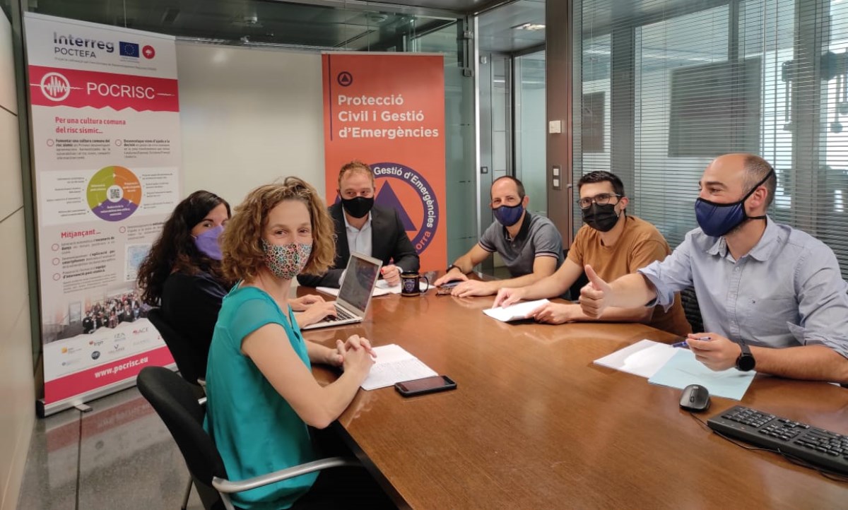
A webinar was organized in March 2021 for representatives of all the Pyrenean services involved in the operational management of earthquakes. In Andorra, the main actors involved in this type of emergency are Cos de Bombers, Protecció Civil, Servei d’Urgències Mèdiques and Cos de Policia. The aim was to present and discuss the tools implemented in the framework of the project:
- How to establish an advanced knowledge of the situation?
- Is the occurrence of other earthquakes possible?
- On what basis can we judge the real intensity of the phenomenon in the territory (insurance perspective)?
- Which buildings can be rehabilitated and under what conditions?
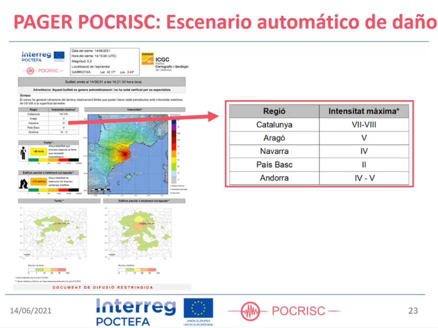
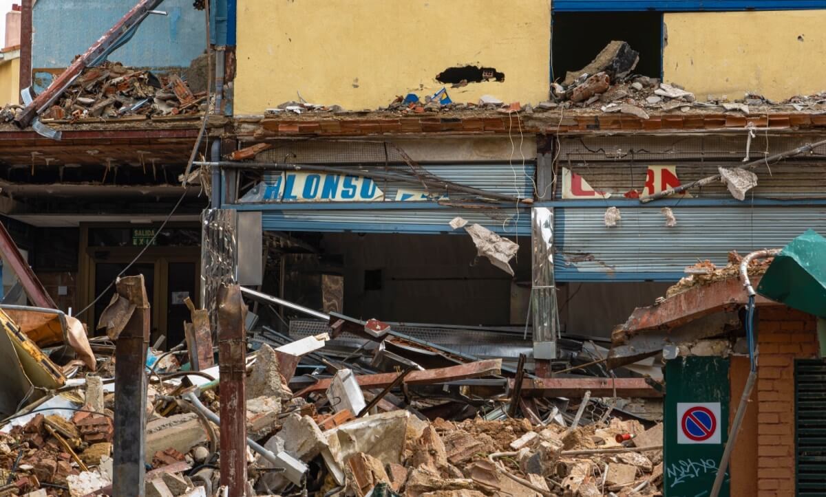
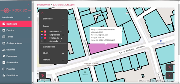
In June, an exercise was organized which consisted of simulating a 5.5 magnitude earthquake in Olot and seeing what the seismic response was like. The impact and scope of the simulated earthquake and how the first responses to the emergency plan in Catalonia were activated were presented, as well as the action of firefighters to sort out the buildings and areas most affected. In this way, the selection made it possible to carry out the exercise of virtual assessment of damage to buildings.
This project is funded by the Interreg-POCTEFA program and by the Government of Andorra through the Complementary Grants to the POCTEFA 2014-2020 reference AUEP009-AND/2015.