Projects
ATES
Tool to improve awareness and safety when preparing winter outings around the country's routes and areas.
Start date: 01/01/2015
 Aina Margalef
 Marc Pons
Work strands:
Snow
Natural risks
Natural risks
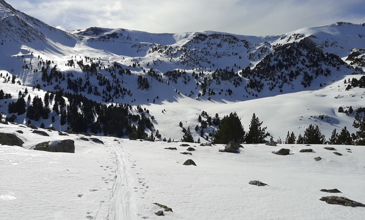
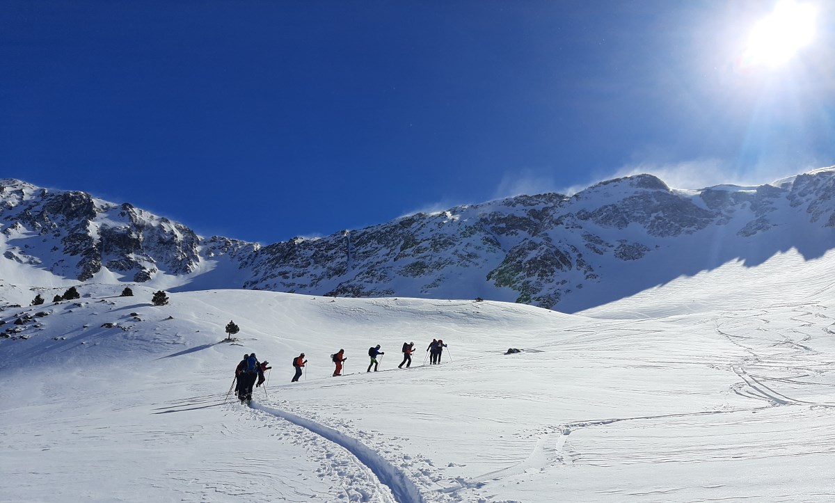
The Avalanche Terrain Exposure Scale (ATES) is a tool that allows you to assess, describe and communicate how prone the terrain is to being affected by avalanches, regardless of weather factors. To make this classification, the technicians take into account different variables, such as the slope, the density of the vegetation, the pitfalls of the terrain or the expected frequency and size of avalanches, among others. The final product is an invariable map where the avalanche terrain is divided into three classes: simple, demanding and complex, so that the information reaches the skier or snowshoe practitioner in a simplified and clear way.
This classification was developed in 2004 by Parks Canada, and is now used in several countries.
In Andorra, the CENMA-IEA began working on ATES cartography in 2015. In 2016, and within the framework of a project funded by a grant from the Government of Andorra, the Observatori de la Sostenibilitat d'Andorrra (OBSA) was integrated into this project with the aim of generating the platform to make cartography known. In 2017, thanks to various agreements with the Ministry of Tourism and Andorra Turisme on behalf of Infoturisme, where all the municipalities are represented, the platform published the first zones. The catalog has gradually increased to publish the rest of the ski areas in the country.
The allaus.ad website is currently available, where you can find the cartography and the ski and snowshoe itineraries that are the result of this project. Panels were also prepared and installed at the entrance to the valleys of the proposed itineraries.
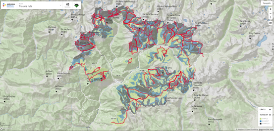
We continue to work on this project with a cross-border vision, with the proposal of new circular itineraries that pass through Catalonia and France.
Bacardit, M., Orgué, S., Moner, I., Gavaldà, J., Margalef, A., Pons, M., Olm, G., Hurtado, R., Huelin Rueda, P., Piqué Badia, A., Clavero, M. Á., & Masgrau, L. “Avalanche Terrain Exposure Scale Mapping in the Pyrenees: An expanding project”. International Snow Science Workshop 2018, Innsbruck, Austria, pp. 1684–1691.